Markers, monuments and interpretive centers scattered around the state bear witness to the time that the Lewis and Clark expedition spent in Montana. President Jefferson charged the expedition with the exploration of the Missouri River, with the hope that they would find the mythical Northwest Passage, a water route that would connect the Atlantic to the Pacific. Lewis and Clark recorded the high plains, encountered vast herds of animals, and explored land rich for hunting, trapping a farming. They never did discover the Northwest Passage, but their journey was one of the most pivotal in Montana history.
The Great Falls Interpretive Center centralizes the Lewis and Clark experience in Montana. The center gives a sweeping overview of President Jefferson’s dream for western America, as well as details on the expedition, and especially the laborious portage around the Great Falls of the Missouri. From the Great Falls Interpretive Center, visitors can head east or west to follow the journey of discovery.
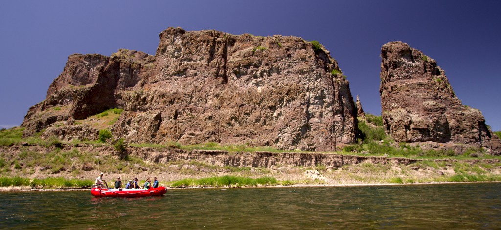
Points east of Great Falls include the confluence of the Missouri and Milk Rivers near Glasgow, the confluence of the Missouri and Marias Rivers near Loma, and the wealth of museums in Fort Benton. Perhaps most importantly, the nationally designated Wild and Scenic Missouri flows through the Charles M. Russell National Wildlife Refuge and the Missouri River Breaks National Monument. Two centuries ago, Lewis described the Missouri River Breaks as “scenes of visionary enchantment.” These vast stretches of the Missouri have been virtually untouched by man, and greet visitors today with the fierce and wild beauty that so awed Lewis and Clark. Although a few backcountry byways traverse the region, it is still best accessed and seen as Lewis and Clark once did—by boat trips up the Missouri.
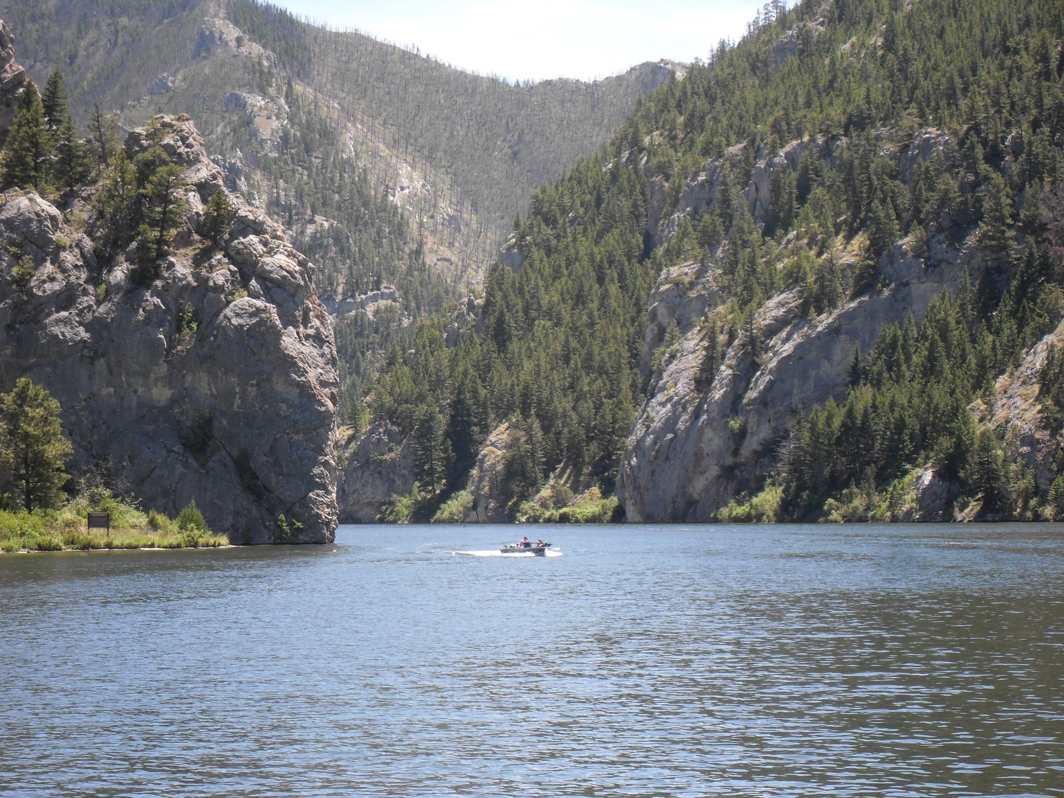
Southwest of Great Falls, and especially west of the Continental Divide, there are a dozen locations significant to the Expedition as the Corps wound its way through the mountains of Montana, looking for a passage west. Distinctive natural landforms like the Headwaters of the Missouri, Beaverhead Rock, and Clark’s Lookout have been turned into state parks, and the Gates of the Mountains is now a protected Wilderness Area. The Expedition camped at what is now Travelers’ Rest State Park, near Lolo on both their westward and eastward journey. With the 2002 discovery of a trench latrine and fire hearths, Travelers’ Rest became the only campsite on the Lewis and Clark Trail with physical evidence of the expedition.
On the journey back to the east, the Expedition split up. Lewis went north, and at Camp Disappointment had the Expedition’s only hostile confrontation with Indians. Clark, and the main body of the Expedition followed the Yellowstone River east. The Pryor Mountains Wild Horse Range now occupies much of the mountains through which the Expedition searched to find a band of their horses that had gone missing. William Clark left the only other physical evidence of the Expedition when he carved his name in Pompey’s Pillar, east of Billings. Lewis and Clark joined together once again at the confluence of the Yellowstone and Missouri Rivers, near Fort Union in present day North Dakota.


